 BGS Data Catalogue
Quaternary
Type of resources
Topics
Keywords
Contact for the resource
Provided by
Years
Formats
Representation types
Update frequencies
Scale
-
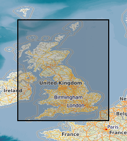
This dataset shows the variation of the thickness of Superficial (Quaternary age) deposits across Great Britain. The data are presented as a vector map of interlocking hexagon cells (side length 1km, area c.2.6 Km2) covering the landmass of Great Britain as a regular grid. Each hexagon cell is attributed with a series of statistics about the thickness of the underlying Quaternary units (e.g. average); additional information relating to the thickness models and the coverage of underpinning data is provided. The data is all derived by spatially summarising the information originally created for the high-resolution Superficial Deposit Thickness Model (a 50m cell size raster model of thickness, first published in 2010).
-
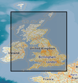
A series of tiled models of superficial thickness covering the UK. The models are derived by direct modelling (natural neighbour interpolation) of BGS Borehole records and BGS Digmap. For the purposes of modelling, superficial deposits include sediments deposited during the Quaternary, subsequent Holocene rivers and coastal systems and also modern anthropogenic material. i.e. deposits that are less than 2.6 million years old. Grids are overprinted with a minimum value so that areas where no bore data is present, but drift is known to occur are given a minimum 1.5m thickness. The superficial thickness models have been created as baseline datasets for the BGS Geohazard programme. They represent the first attempt by BGS to create nationwide models of such data and the models provide only a simple, mathematical interpretation of reality. The complexity of Superficial deposits in Great Britain is such that it is only possible to model indicative values of thickness and elevation. The models should never be used as a substitute for thorough site investigation.
-

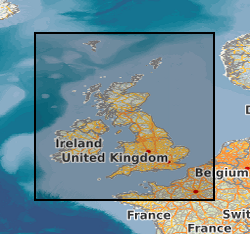
A superficial thickness model covering England Scotland and Wales. The model is derived by direct modelling (natural neighbour interpolation) of BGS Borehole records and BGS Digmap. For the purposes of modelling, superficial deposits include sediments deposited during the Quaternary, subsequent Holocene rivers and coastal systems and also modern anthropogenic material. i.e. deposits that are less than 2.6 million years old. Grids are overprinted with a minimum value so that areas where no bore data is present, but superficial deposits are known to occur are given a minimum 1.5m thickness. The superficial thickness model has been created as baseline datasets for the BGS Information Products programme. The model provides only a simple, mathematical interpretation of reality with some phantom points that improve the model mainly in valley areas where lack of data was given different results as those expected by a geological interpretation of the area. The complexity of Superficial deposits in Great Britain is such that it is only possible to model indicative values of thickness and elevation. The models should never be used as a substitute for thorough site investigation.
-
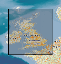
This layer of the Map based index (GeoIndex) shows the location of available UTM (Universal Transverse Mercator) series 1:250000 geological maps. These maps display Bedrock, Quaternary (Superficial deposits) geology of the offshore areas and Seabed Sediments of the UK landmass and offshore regions. The different versions are normally published as separate maps for land areas, but these may be combined on a single map for offshore areas. Maps are normally available in flat and folded format. The UTM Series (Universal Transverse Mercator projection) maps cover an area of 1deg. latitude by 2deg. longitude.
-
The Quaternary deposits thickness dataset is a digital geological map across the bulk of the UK Continental Shelf (UKCS), for areas up to a water depth of 200m, which shows the thickness of the deposits over bedrock in three categories: <5m, 5-50m, and >50m Quaternary cover. These depth bands were picked because they represent the horizons that have impact on offshore infrastructure deployment. The map is derived from (unpublished) BGS 1:1000000 scale Quaternary digital geological mapping. The map was produced in 2014 in collaboration with, and co-funded by, The Crown Estate as part of a wider commissioned project to assess seabed geological constraints on engineering infrastructure across the UKCS. The data are held by the BGS as an ESRI ArcGIS Shapefile.
-
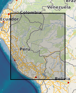
The dataset is the output of a NERC fellowship aimed to understand the long-term dynamics of tropical vegetation through palaeoecological analysis. For doing this, two sedimentary archives (Laguna Pindo and Laguna Baños) from Ecuador were radiocarbon dated and analysed for pollen, non-pollen palynomorphs, charcoal, chironomids, stable isotopes and XRF of tephra deposits. Each proxy was analysed at different resolution. Laguna Pindo is a mid-elevation lake (1250 m asl) that spans the last 50,000 years. Laguna Baños is an Andean lake located at 3800 m asl and contains sediments representative of the last 6500 years. Both water bodies are very shallow. The data is presented mainly in excel spreadsheets as raw data (except for radiocarbon dating data, which are the PDF files provided by NRCF), without any math treatment or conversion. Publication associated with NERC grant, Frazer Matthews-Bird, Stephen J. Brooks, Philip B. Holden, Encarni Montoya, and William D. Gosling (2016), Inferring late-Holocene climate in the Ecuadorian Andes using a chironomid-based temperature inference model. Clim. Past, 12, 1263-1280, 2016. doi:10.5194/cp-12-1263-2016
-
This dataset presents tephra layers, Ar-dates, age-model & stable isotope data from the >250 kyr-long Lake Chala sediment record, Kenya/Tanzania. The file is split into six tables: (1) metadata on the 30 tephra layers (29 visible tephra layers, one cryptotephra) studied to date, including sample and core codes, summary characteristics and ages; (2) summary of Ar-dating results on ten of the Lake Chala tephra layers; (3) the DCH_TephraAge Bayesian age model, which combines tephra, 210Pb and 14C age-estimates for the length of the core; (4) Raw single-grain WDS-EPMA results for all tephra layers studied in the DeepCHALLA sediment record; and (5) secondary standard data; (6) unpublished Diatom ?18O (‰ VSMOW), Bulk organic ?13C (‰), %C and Diatom d13C (‰) measurements for the full length of the core (given on a composite depth scale). These chronological data (Tables 1-5) are central to the reconstruction of palaeoclimate from a multi-proxy analyses of the Lake Chala sediment sequence and are included in publications by Baxter et al. (2023) and Martin-Jones et al. (2020, in review), for which references are given in the appropriate files. Stable isotope data (produced by Barker and Leng) remains unpublished at the time of upload. The data was generated by Catherine Martin-Jones, Christine Lane, Maarten Blaauw, Darren Mark, Melanie Leng and Phil Barker between 2017-2022. Much of the tephra data is published and references are provided.
-
This award was made as a sailing participant of IODP Expedition 346, an international ocean drilling programme that NERC subscribe to. As such there was a lot of data generated that is owned and kept by IODP and which is freely available at: web.iodp.tamu.edu/UWQ/. Published Paper: Integrated Ocean Drilling Program Expedition 346 Scientific Prospectus - Asian Monsoon Onset and evolution of millennial-scale variability of Asian monsoon and its possible relation with Himalaya and Tibetan Plateau uplift. doi:10.2204/iodp.sp.346.2013
-
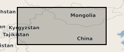
Files contain heavy mineral (HM) and framework petrography data for samples taken from sediments across Northern China, from Tarim in the west to Ordos in central north China. The data come from river, loess, silt and sand sediments from deserts, the Chinese Loess Plateau, major rivers and alluvial fans of ages spanning the Cenozoic to modern. Data are grouped into tables with sample details and data types. Each file pertains to a given paper: Stevens et al., 2013a: doi:10.1016/j.quascirev.2012.11.032 Stevens et al., 2013b: doi:10.1016/j.quascirev.2013.10.014 Bird et al., 2015: doi:10.1016/j.palaeo.2015.06.024 Nie et al., 2015: doi:10.1038/ncomms9511 Rittner et al., 2016: doi:10.1016/j.epsl.2015.12.036 Supplementary Material - Contains Hf, Nd and Sr isotopic data from modern, Pleistocene and Pliocene samples from surface and sediment section sediments from Northern China. Including loess, red clay, sandy desert, alluvial fan and river bar and terrace sediments. Samples obtained between 2010 and 2014.
-

This dataset is the output of a NERC fellowship aimed to understand the long-term dynamics of tropical vegetation through palaeoecological analysis. For doing this, two sedimentary archives (Laguna Pindo and Laguna Baños) from Ecuador were radiocarbon dated and analysed for pollen, non-pollen palynomorphs, charcoal, chironomids, stable isotopes and XRF of tephra deposits. Each proxy was analysed at different resolution. Laguna Pindo is a mid-elevation lake (1250 m asl) that spans the last 50,000 years. Laguna Baños is an Andean lake located at 3800 m asl and contains sediments representative of the last 6500 years. Both water bodies are very shallow. The data is presented mainly in excel spreadsheets as raw data (except for radiocarbon dating data, which are the PDF files provided by NRCF and are available in the NGDC), without any math treatment or conversion (unless specified). NERC fellowship is NE/J 018562/1.