Minerals
Type of resources
Available actions
Topics
Keywords
Contact for the resource
Provided by
Years
Formats
Representation types
Update frequencies
Service types
Scale
-
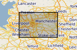
3200 mineral veins (i.e. lead, fluorspar) of the Southern Pennine Orefield within the Peak District National Park captured as a single dataset in 1983 from BGS 1:10 560 published maps with additional veins from referenced literature. The data covers a small, very limited area. Also includes several pipe and flat deposits. Also includes mapped faults. The dataset is approximately 99.5% complete. Uses for the data include economic geology, mineral resources, mine hazards. Veins are numbered but not named.
-
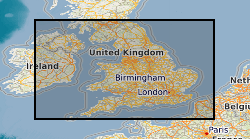
Derived from data collated from the 2005 Aggregate Minerals Survey, carried out by BGS for the Department for Communities and Local Government (CLG) which provide an in-depth and up-to-date understanding of regional and national sales, inter-regional flows, transportation, consumption and permitted reserves of primary aggregates for England and Wales. The information is used to monitor and develop policies for the supply of aggregates. This data set depicts the flow of crushed rock aggregate between the regions of England and Wales. The data originator also has similar data for sand and gravel and also the same data derived from the 1997 and 2001 Aggregate Minerals Surveys.
-

Zeta potential measurements of the fluorcarbonate mineral parisite-(Ce), under water, supernatant and collector conditions. Zeta potential measurements can be used to indicate the surface behaviour of a mineral under different reagent conditions. Mineral surface behaviour is important in processing and extracting minerals from their host ore, which can be energy intensive. Parisite-(Ce) is a fluorcarbonate mineral which contains rare earth elements. Rare earth elements are important in a wide range of products from iPhones to wind turbines.
-
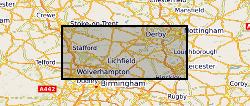
The full title of this project is" Studies into metal speciation and bioavailability to assist risk assessment and remediation of brownfield sites in urban areas" and is funded by NERC under the URGENT thematic programme form 1998-2001. The project is being undertaken by a consortium of workers from the Imperial College, University of Nottingham, and the British Geological Survey. Innovative collaborative and multi-disciplinary research will be applied to the interpretation of urban geochemical maps and associated meta-datasets to assist decision making by local authorities in the redevelopment of brownfield sites. Source apportionment, speciation and bioavailability of potentially toxic heavy metals will be studied at representative conurbations in the UK Midlands region. Scanning electron microscopy, chemical extractions and soil solution and vegetable analysis, will be integrated with high precision isotopic analyses of Pb and other potential toxic metals in this study. The results will be available as maps in GIS format to provide a generic decision support system for quantitative health risk assessment.
-
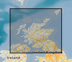
The collection, amounting to c.6,000 records, consists of reports and data relating to geochemical sampling, geophysics, drilling and field mapping deposited by mineral exploration companies dating from c.1960 onwards. Major accessions include records of Mineral Exploration Incentive Grant Act (MEIGA) and reports and plans of Exploration Ventures Ltd (EVL) relating to NE Scotland. Indexed in Land Survey Record Index Database (LSRI).
-
The Mineral Reconnaissance Programme (MRP), funded by the DTI (Department of Trade and Industry) carried out baseline mineral exploration in Great Britain between 1972 and 1997. Its main aim was to stimulate private-sector exploration and the development of indigenous mineral resources. It has been subsumed into the new BGS Minerals Programme, also funded by the DTI. The Programme provides information and advice to industry, enables technology transfer and promotes wealth creation through the effective sustainable development of Britain's mineral resources. The database contains information from the MRP together with some from earlier programmes and the new Minerals Programme. Information from the early 1970s was largely concerned with the search for uranium and base-metals, while since the 1980s gold and platinum-group elements (PGEs) have dominated. A range of pathfinder elements have also been determined. Data is held on the geochemistry of drainage stream sediments, panned concentrates, soil, deep overburden, rock and drillcore samples. All geochemical results are used to populate corporate Geochemistry Database.
-
Dataset of mineral occurrences in the UK including locations of known mines, mineral showings and localities, including sites where minerals of economic interest have been identified in panned concentrates. Data is normally taken from published sources or from internal BGS records, such as field sheets, rock and stream sediment collection cards. Data compilation started ca. 1994.
-
The dataset indicates the potential for hazard in Great Britain as a result of mineral extraction. It excludes areas of Coal mining as these are covered by the Coal Authority. It is based on a simple A-E rating scale indicating the increasing likelihood of an underground mining hazard. The data was created using expert knowledge, detailed literature searches, local knowledge and a series of rule based geological constraints applied to the DigMapGB50k (Digital Geological Map of Great Britain) data.
-
The original version of this dataset contained lithologies interpreted as representing a mineral resource for mineral extraction. Collated on a County by County basis as part of the former Office of the Deputy Prime Minister (ODPM) Mineral Resource Information in support of National Regional and Local Planning between 1994 and 2006. A primary objective is to produce baseline data in a consistent format that can be updated, revised and customised to suit planning needs, including Mineral Local Plans and Regional Planning Guidance, as well as those of industry. The BGS Mineral Resource data does not determine mineral reserves and therefore does not denote potential areas of extraction. Only onshore, mainland mineral resources are included in the dataset. This dataset has been produced by the collation and interpretation of mineral resource data principally held by the British Geological Survey. The mineral resource data presented are based on the best available information, but are not comprehensive and their quality is variable. The dataset should only be used to show a broad distribution of those mineral resources which may be of current or potential economic interest. The data should not be used to determine individual planning applications or in taking decisions on the acquisition or use of a particular piece of land, although they may give useful background information which sets a specific proposal in context. During 2011-2012 revisions were made to areas of the resource linework. These changes were made as a result of new research and release of a new version of DiGMap (v5). This work was on an ad hoc basis but affects all resource layers. The paper maps were not re-released with this data update.
-
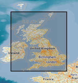
This layer of the map based index (GeoIndex) shows the locations of known mines, mineral showings and localities, including sites where minerals of economic interest have been identified in panned concentrates. The information for the index is taken from the Mineral Occurrence Database. The Mineral Occurrence Database holds information on mineral occurrences in the UK including locations of known mines, deposits, prospects and mineral showings, including sites where minerals of potential economic interest have been identified in panned concentrates. Data is normally taken from published sources or from internal BGS records, such as field sheets, rock and stream sediment collection cards. Data compilation started ca. 1994 and the database currently holds about 13 000 records, but details of many more old workings and occurrences remain to be added.
 BGS Data Catalogue