 BGS Data Catalogue
LiDAR
Type of resources
Topics
Keywords
Contact for the resource
Provided by
Years
Formats
Update frequencies
-
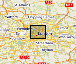
Data are distances (in cm) to water measured by an experimental near-infrared lidar sensor in six different setups (2017–9). Laboratory tests conducted at Imperial College London include quantifying the effect of (i) distance, (ii) sensor inclination, (iii) turbidity/clarity of the water, and (iv) ambient temperature on measurement bias. Outdoor tests at three locations in London interrogated the effect of varying water surface roughness on the measurements. A dataset of high-frequency measurements is also included, from which the effects of sample autocorrelation were interrogated.
-
This dataset contains LiDAR scans as Faro Scene files of 53 scans which cover 15 different fossiliferous surfaces. The number of scans per surface varies depending on the topology of the bedding plane. These LiDAR scans were made in Newfoundland, Canada, from Mistaken Point Ecological Reserve (10 surfaces), Discovery Geopark (4 surfaces) and Ferryland (1 surface). 45 scans were made in July 2022 and 8 in September 2022. The scans were made in order to enable the mapping of fossil specimens within their communities so that spatial analyses can be used to infer the underlying biological and ecological processes than govern Ediacaran eco-evolutionary dynamics. The dataset is complete to reconstruct the bedding surfaces accurately.
-
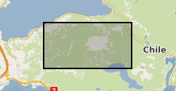
Helicopter borne LiDAR and aerial photo survey of lahar pathways deposited during the April 2015 Volcan Calbuco eruption. Terrestrial Laser Scanning data for July 2015.