 BGS Data Catalogue
Gravity
Type of resources
Topics
Keywords
Contact for the resource
Provided by
Years
Formats
Representation types
Update frequencies
Scale
Resolution
-
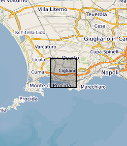
The data set contains location (latitude and longitude), ellipsoidal height (m) and observed gravity of benchmarks at the Campi Flegrei caldera, Italy. The gravity and location data were collected between 8 and 12 July, 2015 using a Scintrex CG5 gravimeter (serial number: 572) in tandem with a TOPCON HiPer Pro Dual-Frequency GNSS base and rover system. The survey contained a total of 85 benchmarks in addition to the base station.
-
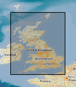
Field notebooks,maps, field sheets etc for Regional gravity observations on the UK mainland, Northern Ireland, offshore islands, tidal estuaries and seabed. Most of the surveys were carried out by the BGS but the database includes data originally acquired by other organisations and subsequently given to the BGS to be managed as part of the national archive. Complete coverage of the UK mainland with a station density of 1-2 stations per square kilometre.
-
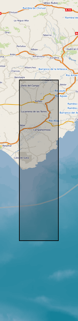
The dataset comprises: Petrophysical data for rocks from the region, XRD mineralogical data, Results of the gravity survey of the basin, tabulation and location of all bedding orientation data for the basin, and sediment transport lineation data. The dataset accompanies publication : On the Structure and Evolution of the Sorbas Basin, S.E. Spain, Tectonophysics 773 (2019) 228230, DOI: https://doi.org/10.1016/j.tecto.2019.228230
-
Microgravity data collected at Uturuncu Volcano between March 2010 and November 2018 The file contains microgravity data collected between March 2010 and November 2018 in the Altiplano-Puna Volcanic complex.
-
Microgravity data collected at Uturuncu Volcano located in the Altiplano-Puna Volcanic Complex, central Andes, in November 2022. Raw data collected along a survey line spanning from Laguna Colorada to Laguna Verde using a field gravimeter. All data have been preprocessed and corrected for tidal and drift effects. Data are reported with respect to reference station UBAS located to the west of Uturuncu near the Laguna Colorada.
-
Report: Dobinson, A. 1975. Survey Data Report South Forties Area July 1974. Continental Shelf Unit II Survey 74/BR/02. MV Briarthorn.(IGS Report No 62, 98, WB/MI/74/12 & 75/3 & UC97). This survey was carried out in conjunction with sampling survey 1974/2.
-
Report: Deegan, SE. 1976. Cruise Report on Project 76/01. SW Approaches and English Channel. (IGS Report No 83) Navigation: Magnavox integrated satellite navigation/doppler sonar system, back-up control was from the Decca Navigator Mk 12. Equipment: Atlas Deso 10 and Edig 10 echo sounder, Askania GSS-3 gravity meter, Edo Pinger, EG&G 9 candle spark array, Klein Dual Scan Sonar System and BP Sonar System. No information on magnetometer. The first objective was to survey seven proposed borehole sites with sparker and pinger. These sites were to the north-west of Scilly. During leg 2 it became necessary to survey additional sites to the south-west of the Lizard. The second objective was a regional marine geophysical survey of the 1:250000 Scilly sheet, which would include the use of gravity meter, magnetometer, sparker, pinger and sonar.
-
Report: Deegan, SE. 1978. Gravity Survey of the North Sea on MV Sperus. MGU Project 76/04. (IGS Report No 88)
-
Report: Deegan, SE. 1978. Gravity survey of the North Sea, north of 54N on MV Sperus. MGU Project 77/02. (IGS Report No 77, 89)
-
Report: Deegan, SE. 1977. Regional Geophysical Survey of Northern North Seaon MV Sperus. MGU Project 77/07. (IGS Report No 85)