 BGS Data Catalogue
Atlases
Type of resources
Topics
Keywords
Contact for the resource
Provided by
Years
Formats
Representation types
Update frequencies
Scale
-
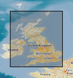
This layer of the map-based index (GeoIndex) shows the boundaries of the G-BASE (Geochemical Baseline Survey of the Environment) project mapping areas, which are reported as geochemical atlases. The majority of atlases are for stream sediment, with data on stream water and soil included where available. Separate stream sediment, soil and stream water atlases have been published for Wales. Hard copy atlases are available for Shetland, Orkney, South Orkney and Caithness, Sutherland, Hebrides, Great Glen, East Grampians, Argyll, Southern Scotland, Lake District, NE England, NW England and N Wales and Wales. Digital atlases/map products are available for the Clyde Basin, Central England, London Region and SW England. National digital atlas products are available also.
-
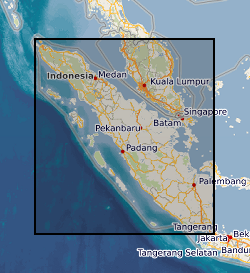
Regional Geochemical data from drainage basin reconnaissance survey carried out as part of a bilateral aid project between the UK Department for International development (DFID) (formerly ODA) and the Indonesian Government. Some 23,000 stream sediment samples collected and analysed (less than 80 mesh fraction) for Copper, Lead, Zinc, Cobalt, Nickel, Manganese, Silver, Arsenic, Molybdenum, Tin and Tungsten (partial extraction) and Lithium, Potassium, Chromium and Iron (total extraction). Samples collected and classified on the basis of 1:250 000 map quadrangle areas. Data gathering completed in two phases: First phase: North of the equator (North Sumatra Project, NSP). Second phase: South of the equator (Southern Sumatra Geological and mineral exploration Project). Sampling and analytical methodology has been consistent throughout. All data is available as on the Sumatra CD-database CD-ROM. North of the equator data published as 1:250 000 single element classified symbol plots and as a monochrome geochemical atlas. South of the equator data published as 1:250 000 single element proportional symbol plots and a geochemical atlas (hardcopy and CD-ROM). Projects also involved regional geological mapping and in Southern Sumatra regional geophysics (gravity). Raw data can be obtained from the Directorate of Mineral Resources, Bandung, Indonesia.