Anemometers
Type of resources
Topics
Keywords
Contact for the resource
Provided by
Years
Formats
Representation types
Update frequencies
-

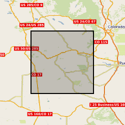
Wind and surface morphological data collected at Medano Creek on the 15th April 2019 to investigate protodune initiation. Surface morphological data: This is terrestrial laser scanned (TLS) data collected of the creek sand surface using three different co-located Leica TLS (C10, P20 and P50). The data is raw point cloud format in text columns of x, y and z coordinate data. It has been orientation into the same local coordinate system. Each data set uses the same coordinate system. Data can be viewed in any spatial software. Data is labelled using C10, P20 or P50, followed by the scan number. Scan times are indicated in a seperate file. Wind data were collected from a fixed point next to the TLS instruments using a Gill 3D sonic anemometer. The data is in csv file format with column titles and can be viewed in any text or database software.
 BGS Data Catalogue