 BGS Data Catalogue
unknown
Type of resources
Topics
Keywords
Contact for the resource
Provided by
Years
Formats
Representation types
Update frequencies
-
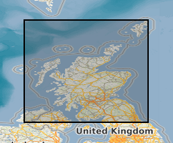
The BGS Hydrogeological Maps of Scotland data product is comprised of three datasets: Bedrock Aquifer Productivity (Scotland); Superficial Aquifer Productivity (Scotland); and Groundwater Vulnerability (Scotland). Aquifer productivity is a measure of the potential of aquifers to sustain a borehole water supply. The Aquifer Productivity (Scotland) datasets indicate the location and productivity of bedrock and superficial aquifers across Scotland, and their groundwater flow characteristics. The Groundwater Vulnerability (Scotland) dataset shows the relative vulnerability of groundwater to contamination across Scotland. The BGS Hydrogeological Maps of Scotland data product is developed as a tool to support groundwater resource management. It may be useful to anyone interested in learning more about, assessing or managing groundwater resources across Scotland. The datasets within the product are delivered at 1: 100 000 scale.
-
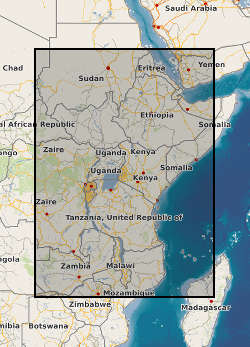
A geographic information system (GIS) heat flow and temperature model of East Africa created by extracting data from open sources into a series of shapefiles and rasters containing information on geothermal sites, hot spring locations, digital elevation model, surface temperature, geothermal gradients, thermal conductivities and heat flow data, major faults, surface geology, crustal basement, electrification grid system and population density across East Africa. This data is stored in the World Geodetic System (WGS) 1984 Geographic Projection System.
-
In 1998 the Department for International Development (DFID) funded the project ‘Groundwater drought early warning for vulnerable areas’ as part of the DFID Knowledge and Research (KaR) programme, a collaboration between UK partners BGS and the Overseas Development Institute (ODI), and with the Bureau of Water, Mines and Energy in Amhara Region, Ethiopia. Drawing on village surveys and stakeholder consultations across sectors, this project evolved a broader, more holistic approach to the study of drought and water supply. Rather than focus exclusively on drought and water availability, constraints on household access to and use of water were explored through the lens of water security. This, in turn, highlighted links between the household water economy (across seasons; between good and bad years) and wider livelihood strategies, particularly in relation to inter-dependencies between food and water security.
-
This datasets contains 323 observations of borehole breakouts across and drilling induced tensile fractures from borehole imaging used to re-characterise the UK stress field orientation in 2016. This was published in the Journal of Marine and Petroleum Geology and is openly available using doi:10.1016/j.marpetgeo.2016.02.012 The observations relate to 39 wells from Central and Northern England and are provided with links to screen grabs of the images for clarity. The basic well meta data is supplied along with a description of the dataset. The Images were generated in the IMAGE DISPLAY module of the Landmark RECALL software. and are supplied on an “as shown” basis. Descriptions of the tools and the techniques used are listed in the accompanying paper: KINGDON, A., FELLGETT, M. W. & WILLIAMS, J. D. O. 2016. Use of borehole imaging to improve understanding of the in-situ stress orientation of Central and Northern England and its implications for unconventional hydrocarbon resources. Marine and Petroleum Geology, 73, 1-20.
-
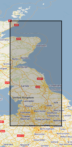
The BGS Permeability Index dataset shows estimated rates of water movement from the ground surface to the water table. The v8 dataset incorporates the latest geology mapping (BGS Geology 50k). This includes updates to the lithology-coding schema, the LEX_RCS. A 2-part code used to identify the named rock unit from the BGS lexicon of named rock units (LEX) followed by a Rock Classification Scheme (RCS) code which describes the rocks lithological characteristics e.g. texture and composition. Updates to these codes and latest dissolution hazard data sourced from BGS GeoSure: Soluble Rocks have been reviewed and classified as part of the version 8 release. The dataset covers Great Britain and is presented at a scale of 1:50 000, based on the geological data at the same scale. However, in areas where the geology is not mapped to this scale, the next best available scale is used. The BGS Permeability Index can be used to compare the relative permeability of deposits at the regional scale, indicating where highly permeable rocks could allow rapid infiltration to occur, or where less permeable rocks are present and water could pond on the ground surface. The dataset can be used as a component in a wide range of geo-environmental assessments such as natural flood management, Sustainable Drainage Systems, engineering desk studies, slope stability, and aquifer vulnerability. It is for use at the regional scale and is not recommended for use at the site-specific scale.