 BGS Metadata Catalogue
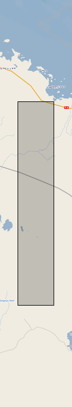
Processed SAR Data over Erta 'Ale Volcano, Afar, Ethiopia (NERC grant NE/L013649/1)
This dataset contains 204 ascending and 300 descending Sentinel-1 geocoded unwrapped interferograms and coherence, and 70 ascending and 102 descending Re-sampled Single Look Complex (RSLC) images for each acquisition date. This data set also includes the original size Digital Elevation Model (DEM) used during InSAR processing. Data used by: Moore et al, 2019, “The 2017 Eruption of Erta 'Ale Volcano, Ethiopia: Insights into the Shallow Axial Plumbing System of an Incipient Mid-Ocean Ridge”.
Simple
- Date (Creation)
- 2019-11-07
- Citation identifier
- http://data.bgs.ac.uk/id/dataHolding/13607559
- Point of contact
-
Organisation name Individual name Electronic mail address Role University of Leeds
Professor A J Hooper
not available
Point of contact University of Leeds
Professor A J Hooper
not available
Principal investigator
- Maintenance and update frequency
- notApplicable
-
GEMET - INSPIRE themes, version 1.0
-
BGS Thesaurus of Geosciences
-
-
Volcanic eruption
-
Geodesy
-
InSAR
-
Volcanism
-
Rift zone
-
- dataCentre
- Keywords
-
-
NERC_DDC
-
- Access constraints
- Other restrictions
- Other constraints
- no limitations
- Other constraints
- The dataset is made freely available for access, e.g. via the Internet. Either no third party data / information is contained in the dataset or BGS has secured written permission from the owner(s) of any third party data / information contained in the dataset to make the dataset freely accessible.
- Use constraints
- Other restrictions
- Other constraints
-
The copyright of materials derived from the British Geological Survey's work is vested in the Natural Environment Research Council [NERC]. No part of this work may be reproduced or transmitted in any form or by any means, or stored in a retrieval system of any nature, without the prior permission of the copyright holder, via the BGS Intellectual Property Rights Manager. Use by customers of information provided by the BGS, is at the customer's own risk. In view of the disparate sources of information at BGS's disposal, including such material donated to BGS, that BGS accepts in good faith as being accurate, the Natural Environment Research Council (NERC) gives no warranty, expressed or implied, as to the quality or accuracy of the information supplied, or to the information's suitability for any use. NERC/BGS accepts no liability whatever in respect of loss, damage, injury or other occurence however caused.
- Other constraints
-
Available under the Open Government Licence subject to the following acknowledgement accompanying the reproduced NERC materials "Contains NERC materials ©NERC [year]"
- Language
- English
- Topic category
-
- Geoscientific information
- Geographic identifier
-
ET
ISO 3166_1 alpha-2 2009 revision
- Geographic identifier
-
ETH
ISO 3166_1 alpha-3 2009 revision
- Geographic identifier
-
ETHIOPIA [id=692000]
British Geological Survey Gazetteer: Geographical hierarchy from Geosaurus 1979 creation
- Geographic identifier
-
Main Ethiopian Rift [id=985019]
British Geological Survey Gazetteer: Geographical hierarchy from Geosaurus 1979 creation
))
- Begin date
- 2014-10-23
- End date
- 2019-06-12
- Unique resource identifier
- WGS 84 (EPSG::4979)
- Distribution format
-
Name Version GAMMA binary output file - .unw, .cc, .mli
witheld
standard ASCII file - .par
witheld
- OnLine resource
-
Protocol Linkage Name WWW:DOWNLOAD-1.0-http--download
https://webapps.bgs.ac.uk/services/ngdc/accessions/index.html#item131391 Data
- Hierarchy level
- Dataset
- Other
-
dataset
Conformance result
- Title
-
INSPIRE Implementing rules laying down technical arrangements for the interoperability and harmonisation of Geology
- Date (Publication)
- 2011
- Explanation
-
See the referenced specification
- Pass
- No
Conformance result
- Title
-
Commission Regulation (EU) No 1089/2010 of 23 November 2010 implementing Directive 2007/2/EC of the European Parliament and of the Council as regards interoperability of spatial data sets and services
- Date (Publication)
- 2010-12-08
- Explanation
-
See http://eur-lex.europa.eu/LexUriServ/LexUriServ.do?uri=OJ:L:2010:323:0011:0102:EN:PDF
- Pass
- No
- Statement
-
The data were processed using the GAMMA software package as described in Moore et al. (2019). Interferogram unwrapped phase and coherence were then cropped to cover only Erta 'Ale Volcano and its immediate surroundings.
Metadata
- File identifier
- 983d9669-65ba-13e7-e054-002128a47908 XML
- Metadata language
- English
- Hierarchy level
- Dataset
- Date stamp
- 2026-07-11
- Metadata standard name
- UK GEMINI
- Metadata standard version
-
2.3
- Metadata author
-
Organisation name Individual name Electronic mail address Role British Geological Survey
Point of contact
- Dataset URI
)))
